

What You Need to Know: Useful Information
The Via degli Dei (Way of the Gods) is an ancient route connecting Bologna to Florence across the Tuscan-Emilian Apennines, covering a distance of approximately 130 kilometers. This trail takes its name from the mountain peaks that were once dedicated to the gods of ancient Roman and pre-Roman mythology, making the route not only a natural itinerary but also one steeped in history and culture. The trail runs along roads and paths that follow the ancient Via Flaminia Militare, which was used in Roman times to connect the two cities.
Today, it is one of the most popular treks in Italy due to its varied landscape, which includes woods, ridges, small villages, and breathtaking views. The average time to complete the Via degli Dei is about 5–6 days, with daily stages varying between 20 and 25 kilometers. The main stages include: Bologna – Badolo, Badolo – Madonna dei Fornelli, Madonna dei Fornelli – Passo della Futa, Passo della Futa – San Piero a Sieve, and San Piero a Sieve – Florence. Each stage offers natural and historical points of interest, such as ancient castles, medieval churches, and mountain refuges.
Getting There:
By Air
If you are flying in, Bologna’s international airport connects directly to major European hubs. Once you land, the fastest way to reach the city center is via the Marconi Express, an electric monorail train that takes you straight from the terminal to the central train station in just 7 minutes.
By Train
Bologna is the main railway junction of Italy. High-speed trains (Frecciarossa and Italo) link the city directly to Milan (1 hour), Florence (35 minutes), and Rome (2 hours). The station sits just a short walk north of the historic center, making it a seamless arrival point for backpackers.
By Bus
For budget-conscious travelers, long-distance bus operators like FlixBus and Itabus service the Autostazione di Bologna (Bologna Bus Station), located in Piazza XX Settembre, right next to the central railway hub.
Below you’ll find the locations marked on Google Maps. Click on them to open the locations directly on your device’s maps.
Useful Contacts:
- Via degli Dei Official website: Via Degli Dei Official Site
What to Bring & Pro Tips:
- While small villages offer public fountains, certain long, forested ridge lines are completely dry. Always carry a sufficient and reliable supply of daily water before tackling remote mid-route stretches.
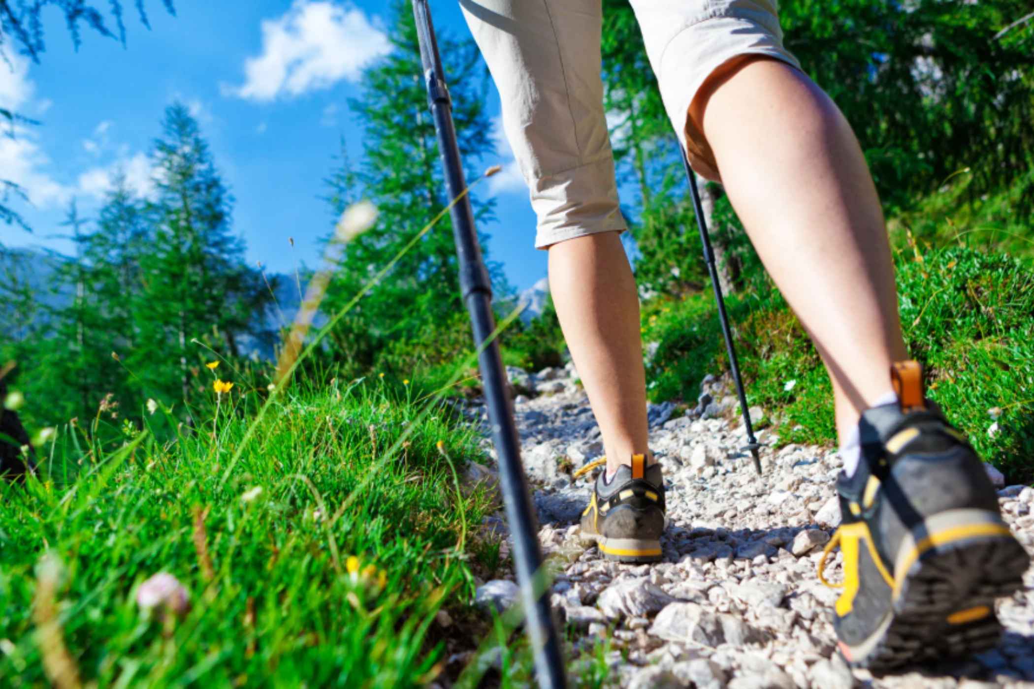
- Walking on the authentic, exposed stone segments of the Roman road can become slippery when wet. Ensure your hiking boots feature sturdy, deep-lugged soles and utilize trekking poles to maintain balance.
- Before setting off from Bologna, stop by the local tourist office to purchase the official trail passport (credenziale). Collecting unique stamps at mountain refuges, trattorias, and hostels along the path unlocks an official completion certificate upon arrival in Florence.
- Independent wild camping is strictly regulated across the two regions. It is highly illegal to pitch tents indiscriminately within protected park zones. Always book your accommodations or campsites in advance, and check explicitly that it is legal to camp in the specific places where you want to stop.
The “Hidden Gem”:
As you complete the final stages of the trek and begin your descent out of the Apennine ridges toward Florence, you will pass very close to the small town of Vaglia, home to a spectacular UNESCO World Heritage site that many hikers completely overlook: the Parco Mediceo di Pratolino (also known as Villa Demidoff). Originally built in the late 16th century by Grand Duke Francesco I de’ Medici, this sprawling estate was designed to be a fairy-tale garden of wonders, packed with secret grottoes, mechanical automata, and grand water features that amazed Europe’s elite. While the original palace was later demolished, the park still protects one of the most astonishing masterpieces of Renaissance sculpture: Il Colosso dell’Appennino (The Apennine Colossus).
