

What You Need to Know: Useful Information
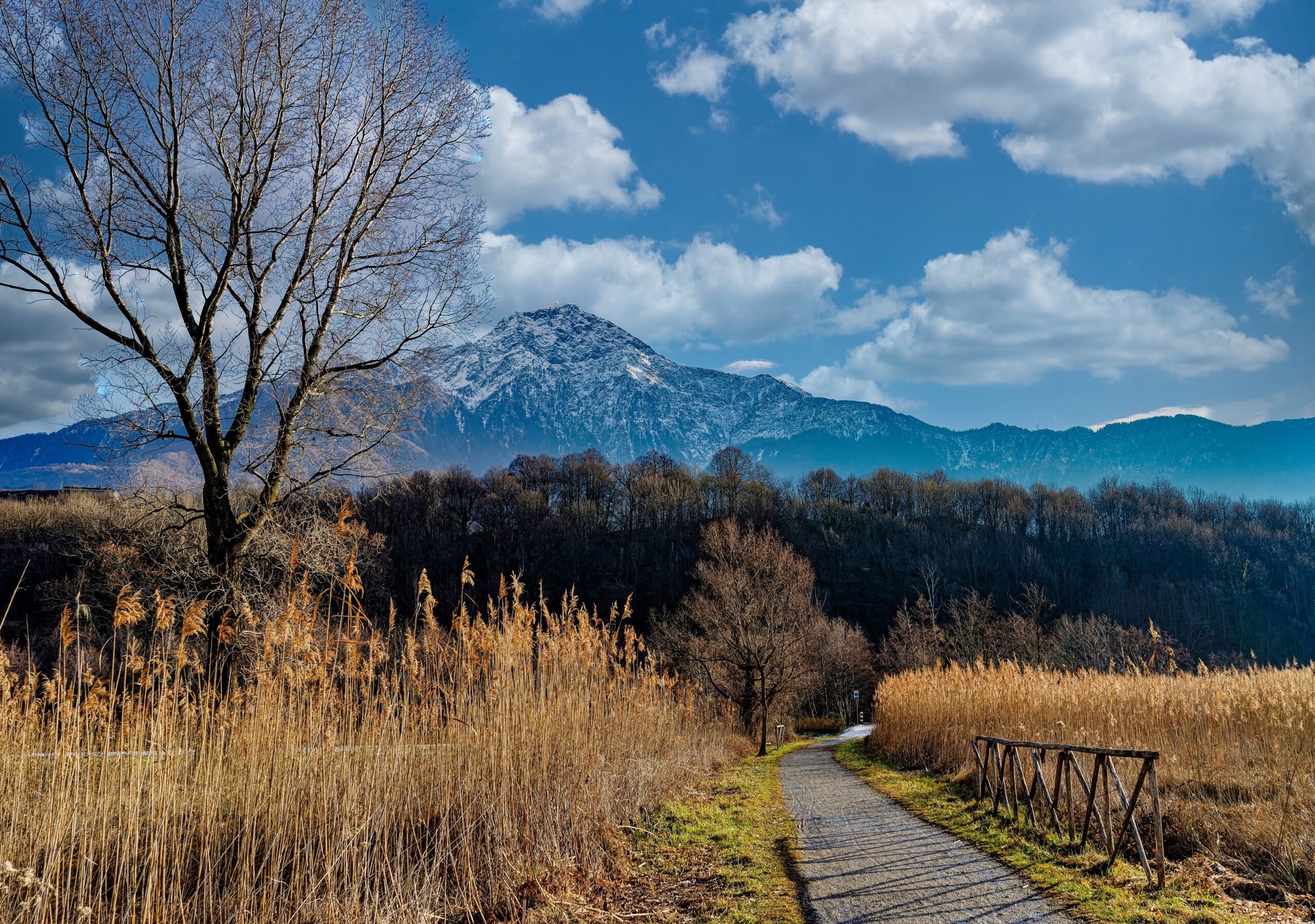
Forget the luxury speedboats and swanky lakeside villas for a moment. To truly experience the magic of Lake Como, you need to lace up your hiking boots and step onto the Sentiero del Viandante (The Wayfarer’s Trail). Tracing the rugged eastern shore of the lake in Lombardy, this ancient 43-mile (70 km) route follows historic merchant mule tracks, winds through terraced olive groves, and dips into sleepy, pastel-colored medieval villages. Stretching all the way from Lecco north to Morbegno, it offers some of the most dramatic panoramic vistas in Northern Italy, seamlessly blending high-altitude alpine views with the deep blue waters of the lake below.
Getting There
What makes the Sentiero del Viandante truly spectacular for independent travelers is its incredible logistical simplicity. The Tirano-Lecco-Milan railway line runs perfectly parallel to the trail.
By Train:
Simply hop on a regional train from Milano Centrale to Lecco (about 40 minutes) to start the trail. Nearly every single stage endpoint – Abbadia Lariana, Lierna, Varenna, Dervio, and Colico – has its own dedicated train station just a short walk from the trail markers. If you get tired, blistered, or caught in a rainstorm, you can simply walk down to the nearest station and catch a 10-minute train back to your home base.
By Car:
While the SS36 main road connects Milan to Lecco and the eastern shore, a car can actually be a hassle for a point-to-point hike. If you do drive, park at a main hub like Lecco or Varenna, hike your daily stage, and use the regional train to loop back to your vehicle.
By Ferry:
For a scenic twist, you can use the Navigazione Lago di Como ferries to hop across the lake from Bellagio or Menaggio straight to the Varenna trailhead.
Below you'll find the location marked on Google Maps. Click on it to open the location directly on your device's maps.
Useful Contacts
- Lecco Tourism Information Office (Infopoint): +39 0341 295720 | [email protected]
- Official Website: Lake Como Tourism – Sentiero del Viandante
What to Bring & Pro-Tips
- High-traction trail running shoes or hiking boots are mandatory to handle the slippery cobblestones and gravel slopes.
- Bring a refillable water bottle; the villages along the route are packed with historic public fountains offering ice-cold, perfectly safe drinking water directly from alpine springs.
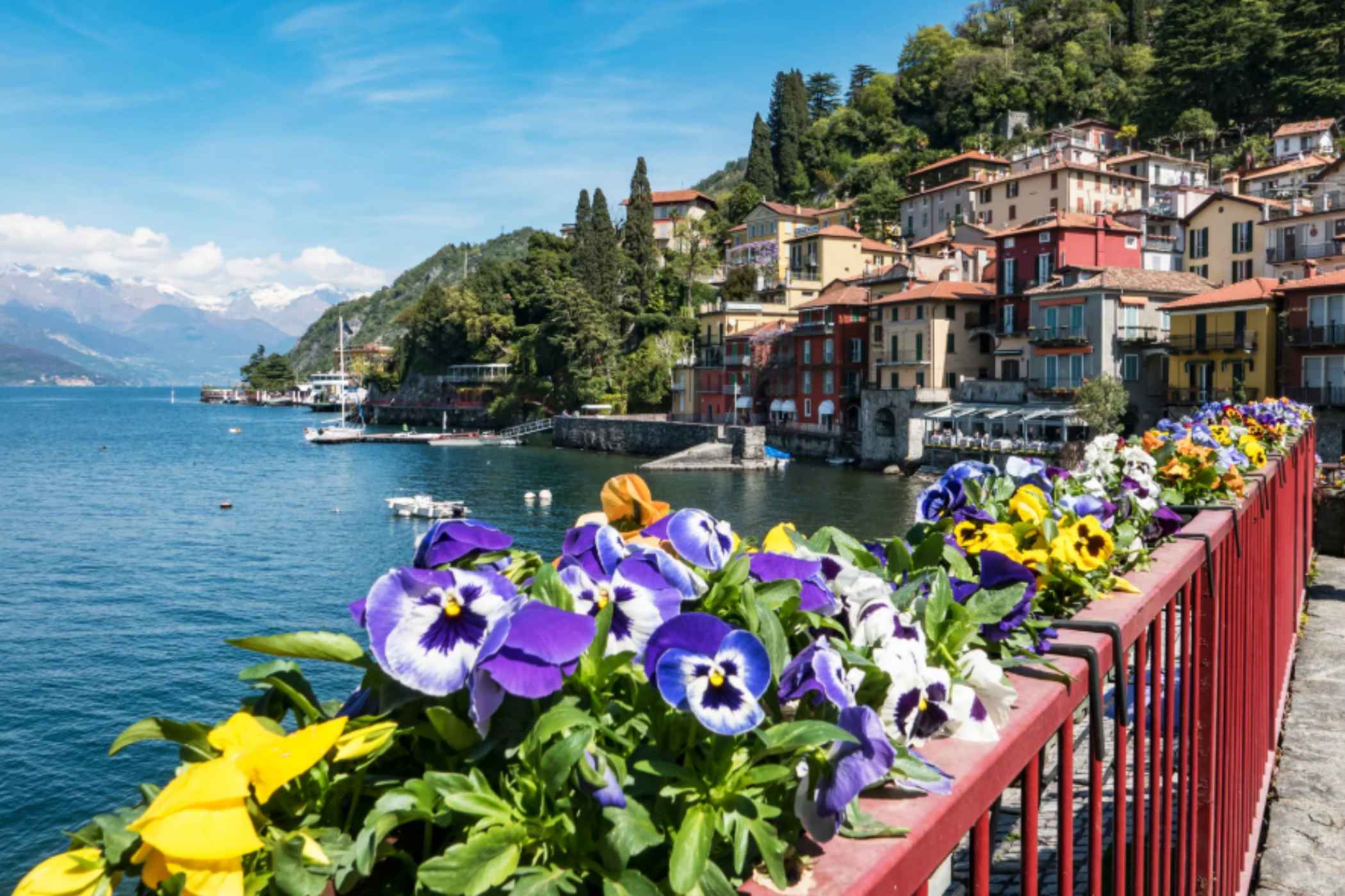
- Don't feel pressured to hike the entire 70 km in one go. The absolute crown-jewel stage of the entire route is the stretch from Lierna to Varenna. It offers the highest elevation gains, the most dramatic cliffside paths, and ends in arguably the most beautiful town on the entire lake.
The “Hidden Gem“
When completing the Varenna stage, resist the urge to immediately sit at a lakeside café and instead make the steep, 20-minute uphill detour to the Castello di Vezio. Perched high on a rocky promontory directly above the town, this ancient medieval outpost boasts a spectacular stone tower with 360-degree views of the lake's intersection. Even cooler? The castle hosts a renowned birds-of-prey falconry center, and the grounds are populated by eerie, life-sized plaster “ghost” sculptures created by casting real tourists who volunteer each summer.
