

What You Need to Know: Useful Information
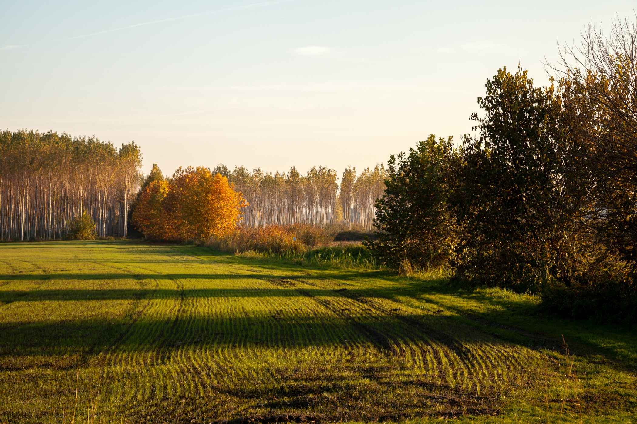
South of Verona’s romantic marble piazzas lies a completely different landscape: the Bassa Veronese (Veronese lowlands). This vast, flat plain is an engineering marvel of interconnected canals, natural springs (risorgive), and flooding rivers. This constant, pure water supply feeds the Strada del Riso Vialone Nano Veronese (The Veronese Vialone Nano Rice Road). Winding through agricultural hubs like Isola della Scala, Bovolone, and Buttapietra, this culinary route celebrates Riso Nano Vialone Veronese IGP, a round, pearly grain that was the very first rice in Europe to secure a protected geographical status.
Getting There
By Car:
From Verona, drive south along the SS12 highway. In less than 25 minutes, you will reach Buttapietra and Isola della Scala, the heart of the rice production zone. A car is highly recommended to easily move between individual rural farms, ancient water mills, and isolated country trattorias.
By Train:
Regional trains run regularly from Verona Porta Nuova to the Isola della Scala station (a short 15-minute ride), positioning you right in the culinary center of the Rice Road.
Below you'll find the location marked on Google Maps. Click on it to open the location directly on your device's maps.
Useful Contacts
- Associazione Strada del Riso (Isola della Scala): +39 045 7300084
- Isola della Scala Tourist Office: Strada del Riso Official Portal
The “Hidden Gem“
While visiting Isola della Scala, take a short detour to the hamlet of Engazzà to see the Bastion della Scala. Built in the 14th century by the ruling Della Scala family of Verona, this isolated, medieval brick defensive tower sits squarely amid modern, flooded rice fields. It served as a historical border checkpoint and custom house controlling the vital water channels of the plain. Viewing this ancient fortress rise up from the green, watery fields offers a striking reminder of how deeply tied military strategy, water control, and food security have always been in the history of Veneto.
